Filter and sort
Special Offers
-


ONWA KP-27 7-inch Marine GPS Chart Plotter
Reliable Marine Navigation for Boats & Ships! The ONWA KP-27 is a high-performance waterproof marine GPS chart plotter designed for precise navigation at sea. Featuring SBAS support, a 7-inch high-resolution display, and fast positioning, it’s an...Regular price €569,99Regular price €569,99 -


Xinuo XF-520 5" Marine GPS Chart Plotter
Navigate with Confidence on the Open Seas! The Xinuo XF-520 is a 5-inch high-brightness marine GPS navigator designed for precision chart plotting and real-time tracking. With dual-mode positioning, AIS compatibility, and multi-language support, this waterproof GPS...Regular price €419,99Regular price €419,99 -


GP-280 Marine Waterproof Handheld GPS Navigator
Reliable Navigation for Boats, Vehicles & Outdoor Exploration! The GP-280 is a high-sensitivity waterproof handheld GPS navigator designed for marine, automotive, and outdoor use. Featuring multiple display modes, long battery life, and excellent waterproofing, it’s a...Regular price €189,99Regular price €189,99


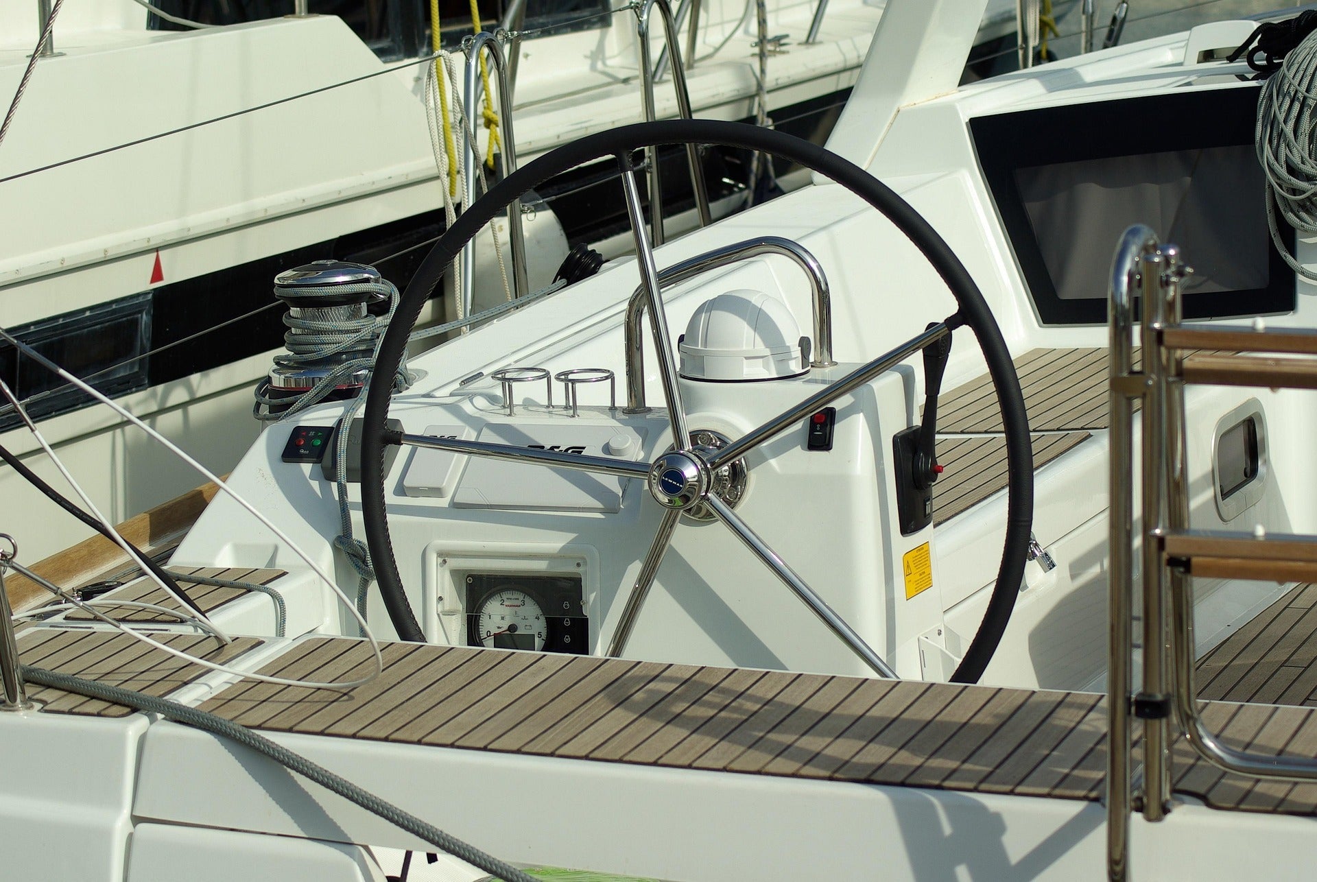
Why use a Boat Navigation GPS system?
Marine GPS (Global Positioning System) is essential for navigation and safety at sea. Its main uses include:
- Navigation – Helps boats and ships determine their exact location, set waypoints, and follow planned routes.
- Safety and Emergency Assistance – Enables distress signals with precise coordinates for search and rescue operations.
- Fishing – Assists in marking and returning to productive fishing spots.
- Harbor Approaches and Docking – Provides precise positioning to navigate safely in and out of harbors.
- Weather and Tide Information – Some systems integrate real-time weather updates and tidal data for safer travel.
- Fleet Tracking and Management – Used by commercial vessels to monitor locations and optimize routes.
- Recreational Boating – Helps leisure boaters explore waters confidently and avoid hazards.